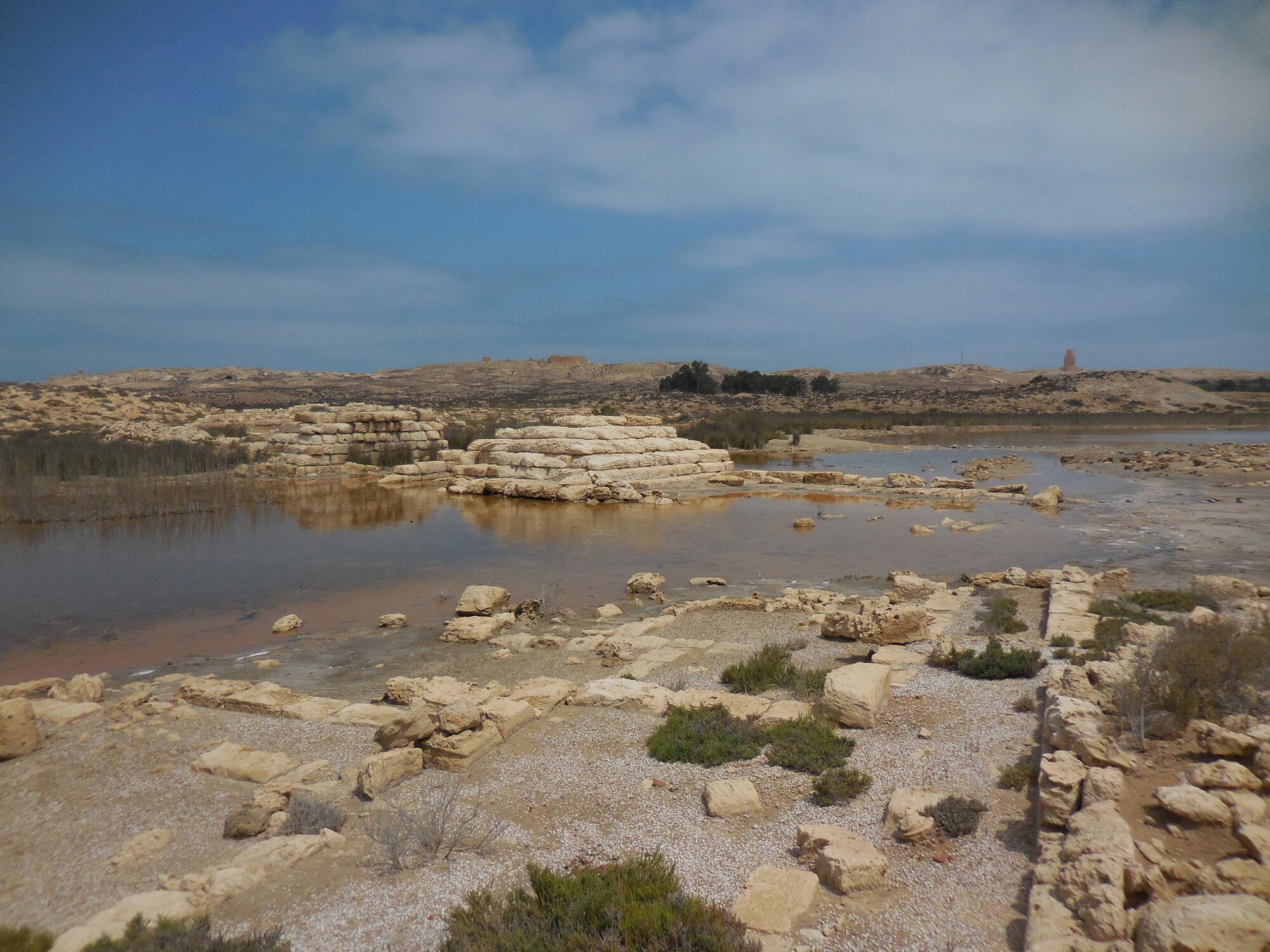
Ancient authors (from Strabo to Procopius) as well as recent studies have underlined the economic and administrative importance of the city of Taposiris Magna, located towards the western tip of the present Lake Mariout (or Maryut), west of Alexandria, in Egypt (30°56'21.52''N / 29°31'20.44''E). The archaeological settlement, attested from the 3rd c. BC to the beginning of the 8th c. AD, owes its fortune to its strategic location, between the Mediterranean and the lake, in a prosperous region in antiquity, the Mareotis, and to its role as a gateway from Libya and as a lock in the Alexandrian lake harbour complex. Its lake facilities are unparalleled on the north shore by their scale and complexity: an artificially deepened channel running east-west, bordered to the south by a 2 km long levee made of layers of waste, on which were built warehouses; a stone pier more than 200 m long closing off the basin to the east; an off-shore tower guarding the channel to the east, and to the west, multiple infrastructures bordering the lake basin; and a causeway blocking the lake from north to south. The longevity of the port complex and the involvement of the central authorities in various development programs show the key role that the site played in the economic networks that linked Alexandria to its hinterland. However, despite the testimony of the ancients who insisted on the lake orientation of the site, this aspect has never attracted as much attention as the monuments of the upper city (Osiris temple, Tower of Arabs, tombs). Only the Brooklyn Expedition led by Prof. E. Ochsenschlager conducted a short campaign in 1975 on the western part of the harbour.
Unlike previous missions, the French expedition at Taposiris and Plinthine has chosen to focus on operations in the lake area from 1998 to 2010. It carried out a systematic survey of all the remains (architectural and topographical), dated the various phases of development of the port complex (from Hellenistic to Byzantine) showing that many facilities of the whole city are part of an ambitious program initiated in the 2nd/3rd c. AD to control exchanges. Electromagnetic surveys and geomorphological investigations, while highlighting the extent of the environmental transformations, have underlined the factors (natural or political) of these evolutions and their impact on the activities and functions of the site. They made it possible to link the history of the site to the lake's evolution over the longue durée. Moreover, the role of terminal assumed by Taposiris in Roman times meant that, in order to understand the logic of the transformations observed there, exploration was extended further east and has resulted in topographical surveys and soundings: the exceptional concentration of sites and harbour basins (Plinthine, Rahim, Qoseir, Gamal) east of Taposiris is striking. The interpretation of old maps and geomorphological data proved that they were bordered by the same canal.
So far, a few articles give only a small glimpse of the wealth of the conclusions obtained and the final results of the geomorphological analyses are still unpublished. The objective of the grant is to complete the studies of both the archaeological remains and of the paleoenvironmental context in order to achieve a final publication of this exceptional site. The publication (paper print and Web-GIS) will offer a new vision of the history of Lake Mareotis in Antiquity and explain the environmental changes and their impact on the dynamics of societies and economy.
The publication project is directed by Dr. Bérangère Redon and Prof. Marie-Françoise Boussac


